Hands on with Data

Welcome to the Hands on with Data module

In this module you will learn how to manipulate and understand data from satellites in a range of environmental contexts. It’s your chance to get hands on with satellite data! Subject links: Computer Science, Geography, Maths
You will learn:

  • How scientists work with satellite data to better understand different parts of the Earth system
  • How to work with different kinds of satellite data yourself and the types of information it contains
  • How to interpret maps and graphs displaying different types of environmental data
Resources

Hands on With Data - Interactive Web App

Work your way through these step-by-step activities to get hands on with some satellite data. You will get the chance to:

  • Map deforestation in Brazil and make your own time-lapse animation!
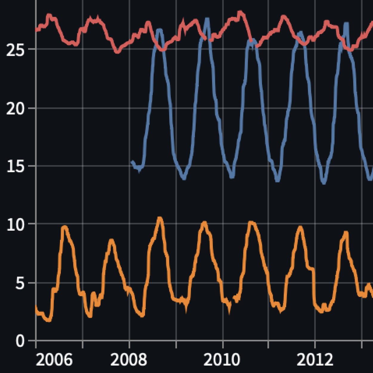
  • Investigate changes in sea surface temperatures over the past 20 years and its impact on marine ecosystems
  • Learn some basic coding skills to investigate the retreat of a glacier in Antarctica

Canva Presentation Slides

Find the slides here for the Hands on with Data classroom presentation.

Module Documentation

Find the module documentation here, including detailed instructions and worksheets.

SatSchool footer